Fire Resistant Landscaping strives to offer you the the same fire risk mitigation technology typically utilized for large scale catastrophic wildfires,
for only $149 per acre!
Using the same cutting edge technology used by the United Forest Service and CalFire, Fire Resistant Landscaping strives to offer you the the same property overview and cutting edge data visualization typically only utilized for large scale wildfire disasters.
All Fire Risk Assessments include:
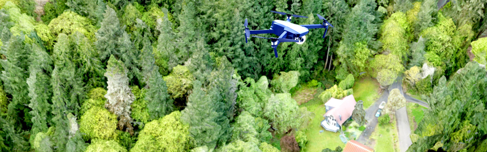
FAA Certified UAV Flyover of Your Property
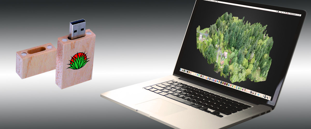
State of the Art 3-D Property Model
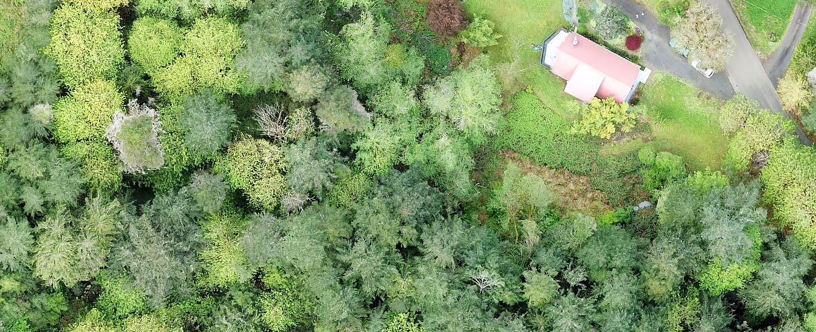
High Resolution Aerial Photography of your Property
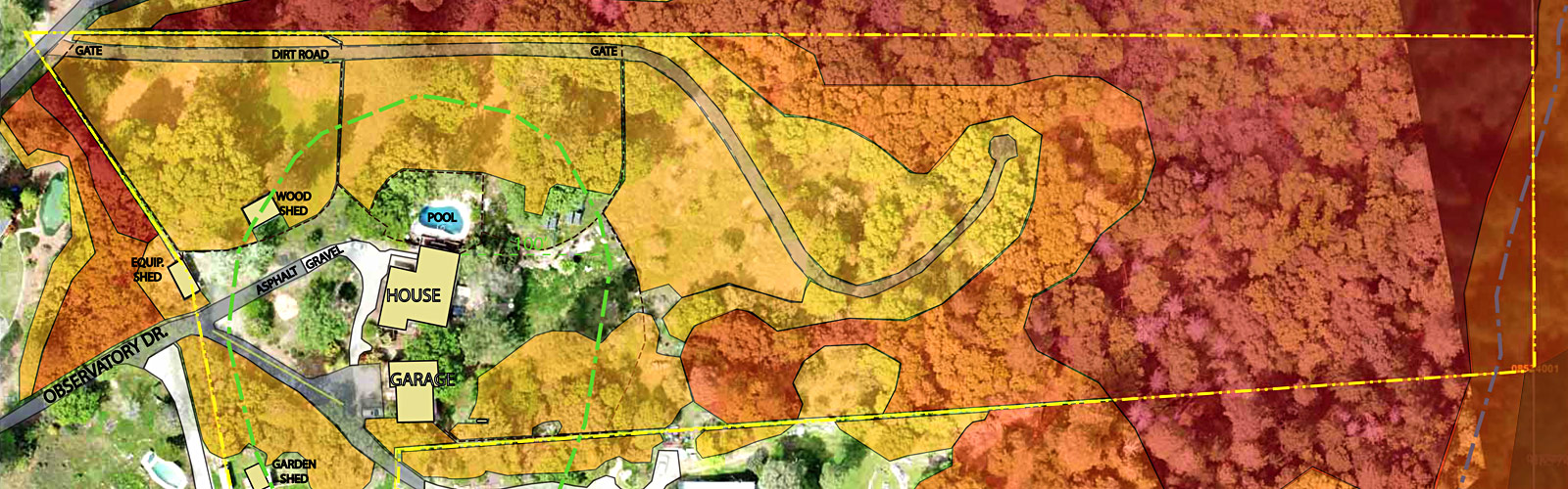
Detailed Property Fuel Threat Map
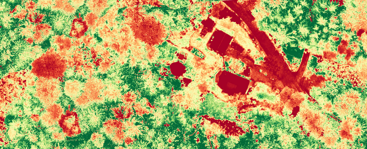
Cutting Edge Infrared Plant Health Map
All Photos, Images, Maps, Models & Source Files
All Fire Risk Assessments include:
- Onsite Property Walkthrough by Landscape Designer
- Plant and Foliage Risk Analysis / Fuel Type Identification
- CalFire Fire Risk Checklist
- FAA Registered and Certified UAV Flyover
- High Resolution Overhead Photography of Property
- GPS Based 3-D Property Model
- Full Size NVDI “Plant Health” Map Identifying at-risk trees and foliage
- Detailed “Property Fuel Threat” Map
- All Photos, Maps, Models and Source Files are delivered to you on your own Disc or Flash Drive!
- 3D Property Models and all files also available online using your private login to our secure website