As wildfires rage across the state, many California property owners are being dropped from their fire insurance just as it looks like they may need to use it! In a state where wildfires are inevitable, it is now essential for property owners to take wildfire preparedness into their own hands. Especially for homes in the “Wildland / Urban Interface” where structures are the most susceptible to spreading fires, homeowners need to be aware of the level of risk their property faces.
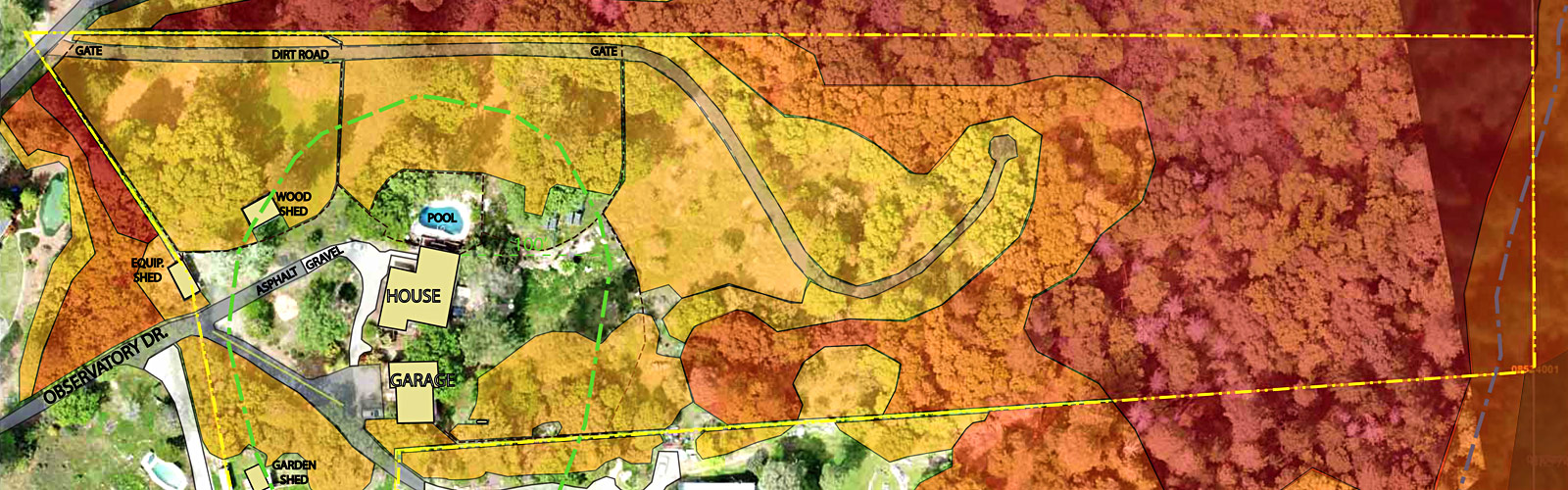
fire risk assessment fuel threat map
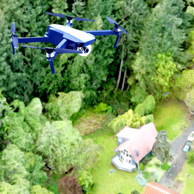
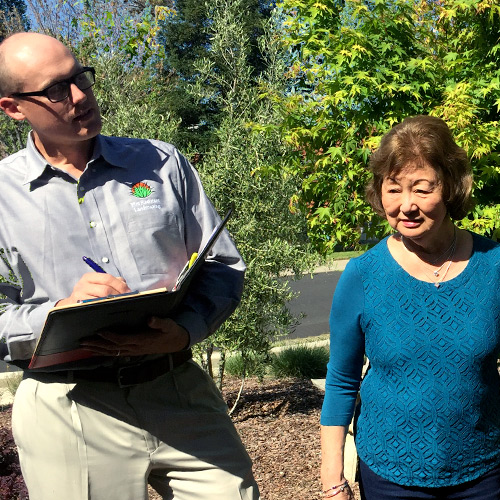
One of the most informative ways to learn about your property’s fire risk is with a Fire Risk Assessment from Fire Resistant Landscaping LLC. We combine aerial drone technology with 3D modeling, infrared photography and landscape design know-how produce a comprehensive fire risk assessment that gives you the essential insight needed to improve your property’s defensible space.
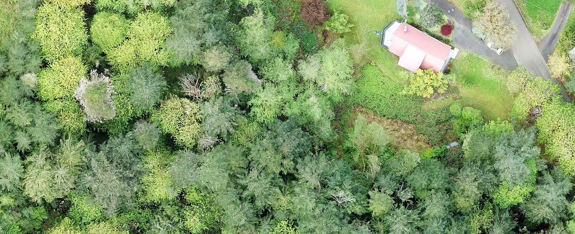
fire resistant landscaping high resolution aerial photography
There are many factors that go into evaluating your property’s risk of being lost to wildfire. From tree and plant species to ground elevation, slope conditions, defensible space and proximity of neighbors. Aerial UAV Drone Mapping enables us to take all these factors into account when preparing your comprehensive Fire Risk Assessment, Three Dimensional Property Model and Infrared Plant Health Map. Then, after your Fire Risk Assessment, Fire Resistant Landscaping LLC can work with Landscape Designers, Arborists and Local Contractors to customize the best fire risk mitigation and fire resistant landscaping plan for your property.
fire risk assessment from fireresistantlandscaping.com
To learn more about how Fire Resistant Landscaping LLC can help you prepare your property against inevitable California wildires, give us a call or schedule your fire risk assessment today!